In today’s world, where water resources are becoming increasingly scarce, efficient irrigation is more important than ever. One revolutionary technology that is transforming irrigation management is satellite-based soil moisture analysis. By providing real-time, large-scale insights into soil water content, satellite monitoring helps farmers, researchers, and water managers make smarter, faster decisions to optimize water use.
What is Satellite-Based Soil Moisture Analysis?
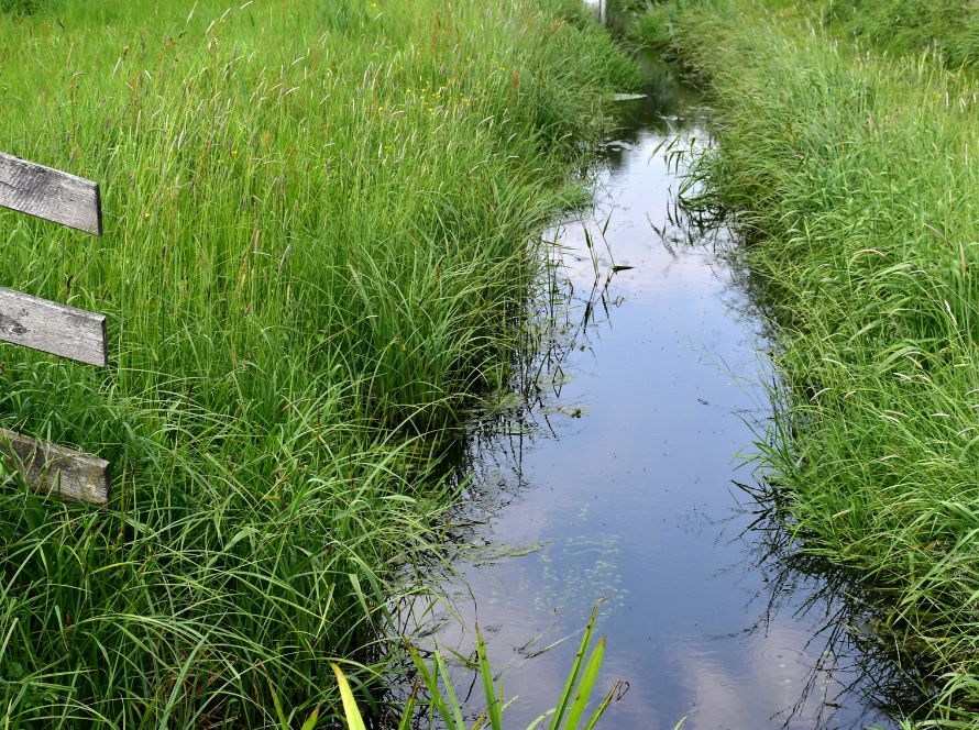
Soil moisture plays a critical role in plant growth, influencing crop yield, health, and resilience. Traditionally, measuring soil moisture required manual sampling, ground sensors, or complex modeling—all time-consuming, costly, and limited to small areas.
Satellite-based soil moisture analysis, however, uses remote sensing technology to estimate the moisture content of the soil across vast regions, in near real-time. Satellites equipped with specialized sensors, such as microwave radiometers and synthetic aperture radar (SAR), can detect subtle differences in soil surface conditions by measuring electromagnetic signals reflected or emitted from the Earth.
Some well-known missions providing soil moisture data include:
- SMAP (Soil Moisture Active Passive) by NASA
- Sentinel-1 by ESA (European Space Agency)
- ASCAT (Advanced Scatterometer) by EUMETSAT
How Does It Work?
Satellites observe the Earth’s surface at regular intervals, capturing data on:
- Soil surface wetness
- Vegetation cover
- Temperature
- Land roughness
Microwave sensors are particularly useful because microwaves can penetrate clouds and operate during both day and night. Algorithms process this raw satellite data to produce soil moisture maps at various spatial and temporal resolutions—sometimes down to a few kilometers and updated daily.
Benefits for Irrigation Management
1. Real-Time Decision Making:
Farmers can receive updates on soil moisture levels in real-time, enabling timely irrigation based on actual need rather than on guesswork or rigid schedules.
2. Water Conservation:
By irrigating only when and where necessary, farmers can significantly reduce water wastage, leading to more sustainable water use.
3. Increased Crop Yields:
Optimal soil moisture levels help crops achieve their full potential, reducing stress and improving both quality and quantity of yield.
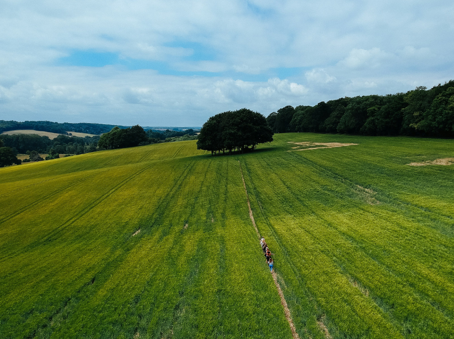
4. Large-Scale Monitoring:
From small farms to entire river basins, satellite monitoring allows water managers to observe regional and national trends, detect droughts early, and plan accordingly.
5. Cost-Effective:
Compared to installing and maintaining networks of ground sensors, accessing satellite data (often available freely from public missions) is far more economical.
Challenges and Considerations
While satellite soil moisture analysis is powerful, there are a few challenges:
- Surface Measurement: Most satellite sensors capture moisture only in the top 5 cm of soil, which may not always represent deeper root-zone conditions critical for crops.
- Resolution Limits: Some satellite products may have spatial resolutions too coarse for very small fields.
- Vegetation Interference: Dense vegetation can affect the accuracy of microwave-based measurements.
However, researchers are constantly improving algorithms and combining satellite data with ground observations and models to overcome these challenges.
The Future of Satellite Soil Moisture Monitoring
With the advancement of AI, machine learning, and new satellite missions, the accuracy, speed, and resolution of soil moisture products are expected to improve dramatically. Integration with IoT-based smart irrigation systems will create even more powerful tools for precision agriculture, enabling fully automated, real-time irrigation scheduling based on satellite insights.
Imagine a future where a farm’s irrigation system automatically adjusts itself based on real-time soil moisture maps from space—saving water, improving yields, and supporting a more sustainable planet.
Conclusion
Satellite-based soil moisture analysis represents a groundbreaking tool for the agricultural sector. By delivering real-time, reliable insights, it helps optimize irrigation practices, conserve precious water resources, and promote sustainable farming. As technology continues to evolve, satellite monitoring will play an even bigger role in feeding a growing world with fewer resources.