In today’s world, where water scarcity is a growing concern, efficient water management has become crucial — especially in agriculture, which accounts for about 70% of global freshwater use. One technology making waves in this area is GIS Mapping (Geographic Information System Mapping). It is not just helping farmers track their fields; it’s revolutionizing how water is managed on farms, leading to smarter decisions, higher yields, and more sustainable farming practices.
What is GIS Mapping?
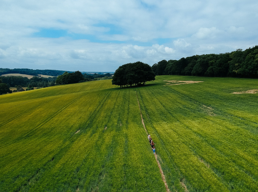
At its core, GIS Mapping involves capturing, analyzing, and visualizing geographical data. It allows farmers to create detailed maps of their land showing everything from soil type and slope to water flow patterns and crop health. With this information, farmers can better understand their fields — and manage them with precision.
How GIS Mapping is Transforming Water Management
1. Identifying Water Needs Accurately
Every part of a field doesn’t need the same amount of water. GIS mapping helps farmers pinpoint zones that need more or less irrigation based on soil moisture levels, crop type, and land slope. This avoids overwatering and underwatering, saving both water and energy.
2. Optimizing Irrigation Systems
Through GIS data, farmers can design high-efficiency irrigation systems like drip or sprinkler setups tailored to the unique needs of each part of their land. This customized approach maximizes water use efficiency and minimizes wastage.
3. Monitoring Soil Health
GIS can integrate soil data, including salinity, pH, and nutrient content, helping farmers adjust irrigation schedules to maintain optimal soil conditions. Healthy soil holds water better, reducing the need for frequent irrigation.
4. Managing Drought and Flood Risks
By analyzing historical weather patterns and topography, GIS tools can predict areas prone to droughts or floods. Farmers can then take proactive measures like building drainage systems or creating water storage ponds, ensuring greater resilience against climate extremes.
5. Tracking and Managing Water Resources
GIS mapping provides real-time insights into the availability and status of nearby water resources like wells, canals, and reservoirs. It helps in planning water withdrawal smartly to avoid depleting these resources.
6. Supporting Sustainable Practices
Ultimately, GIS helps farmers adopt precision agriculture practices. By using water where and when it’s truly needed, farms reduce wastage, lower costs, and minimize environmental impacts — moving toward a more sustainable future.
Real-World Examples
- In California, GIS technology has been crucial in managing limited water supplies during prolonged droughts by helping farmers adjust their irrigation methods based on up-to-date water data.
- In Australia, farmers are using GIS to design water-efficient layouts for large farms, ensuring that no drop of water goes to waste.
Conclusion
GIS Mapping is not just a fancy tool; it’s becoming a necessity for modern farming. By giving farmers detailed insights into their land and water resources, GIS empowers them to make smarter, faster, and more sustainable decisions. As the agriculture sector faces increasing pressure to produce more with less, embracing technologies like GIS will be key to future success.